Islamic monument · Cairo
Rawda Island Nilometer
Where Cairo once read the Nile's yearly pulse
- City
- Cairo
- Type
- Islamic monument
- Era
- Abbasid Caliphate, 861 AD
Overview
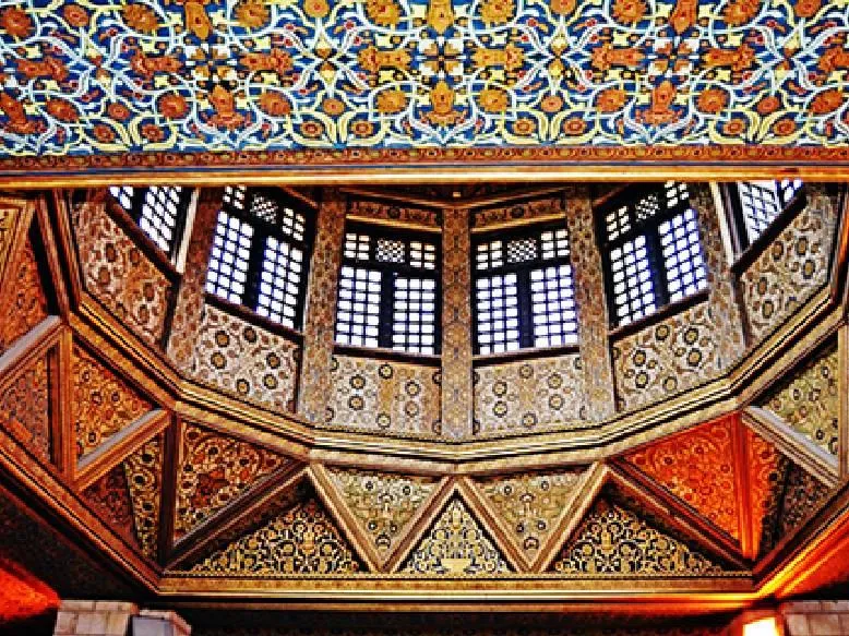
The Rawda Island Nilometer stands at the southern tip of Rawda Island in the Nile, in the Manial district of Cairo. It was built in 861 AD (247 AH) under the Abbasid caliph al-Mutawakkil. Its purpose was practical: to record the height of the river during the annual flood, which determined the harvest and the land tax that the state could expect.
The structure is a deep, square, stone-lined shaft. Channels connect it to the river, so the water inside rises and falls with the Nile. At its centre stands a slender octagonal column marked in cubits, the traditional unit of measurement. Officials read the level on this column and announced the result, which could bring relief or anxiety to farmers and rulers alike.
The building is also admired by architectural historians for its pointed arches, which are among the earliest surviving examples of this form in Islamic architecture. A band of Kufic inscription runs around the upper part of the shaft. Over the centuries the Nilometer was repaired and restored several times, so the monument reflects both its Abbasid origins and later additions.
What to see
- 01The central octagonal column graduated in cubits
- 02Early pointed arches inside the stone-lined shaft
- 03The Kufic inscription band around the upper walls
- 04Views of the Nile from Rawda Island's southern tip
Visitor tips
- Check the current opening status and ticket details with official sources before you go, since access to the site has changed over the years.
- Combine your visit with other sights on Rawda Island, such as the Manial Palace Museum, which is nearby.
- Wear comfortable shoes, because the approach and the viewing area around the shaft involve steps and uneven surfaces.
Frequently asked questions
What is the Rawda Island Nilometer?
It is a medieval Islamic structure in Cairo used to measure the level of the Nile during the annual flood. A graduated column stands in a stone-lined shaft connected to the river.
When and by whom was the Nilometer built?
It was built in 861 AD (247 AH) during the reign of the Abbasid caliph al-Mutawakkil. It was later restored several times.
Why was measuring the Nile so important?
The height of the flood indicated how good the harvest would be. Authorities used the readings to estimate agricultural yields and to set land taxes.